ASHI Balloon Data obtained on August 25th, 2022 from Fort Sumner, New Mexico. These images are taken at over 100,000ft on a scientific balloon. ASHI began image acquistion once the on-board light sensors detected it was dark enough. Acquisiton began at 8:30pm to 3:00am the following morning. ASHI accumulated over 4,500 images. Below left: Each frame has been rotated to place Polaris at the top of the image, and combined with 50 subsequent images. Below Right: A sweep as the sky rotates around Polaris. As the night progresses a new region of sky is revealed. Raw Balloon Data available here
|
|
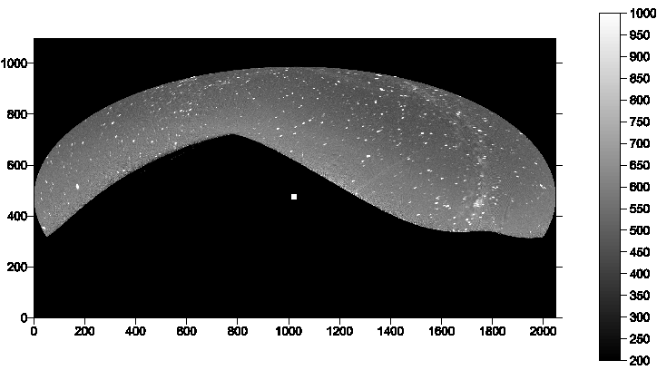
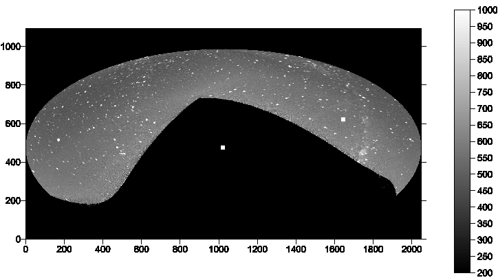
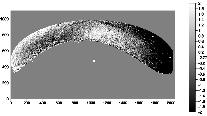
Seen below are processed images of the raw data, in heliographic coordinates, showing the first half of images combined (left) and the second half combined (middle). The Sun is shown as a square in the center. By aligning these images we can effectively remove the stars and stellar background to reduce the image down to the level of the heliosphere (right). At this level any motion of the solar wind can be observed.
|
|